Research · ICLR 2027 · Under review
Sparse Wires, Robust Models: Density-Robust Segmentation of Poles and Wires from Open Aerial LiDAR
Can free, sparse public LiDAR be made good enough to find poles and wires?
- arXiv link coming soon
Utilities need accurate maps of their poles and wires, but their GIS records are unreliable and dedicated high-density LiDAR surveys are expensive. Free public aerial LiDAR (USGS 3DEP) covers most of the US, but at 2–12 points per square metre a wire is a handful of scattered points, and existing segmentation methods collapse. This paper asks whether sparse, open LiDAR can be made good enough for pole and wire extraction.
Where the earlier papers built the whole pipeline, this one goes after the step that breaks first at low density: point-cloud segmentation, telling pole and wire points apart from everything else when there are barely any of them.
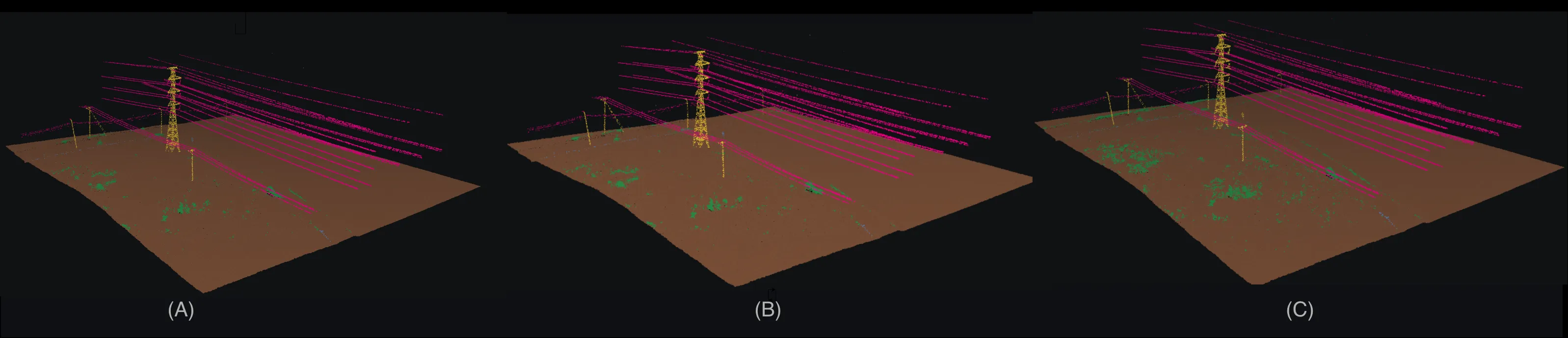 Poles (yellow) and wires (magenta) picked out of sparse open LiDAR, across three tiles.
Under review at ICLR 2027. Abstract and arXiv link to follow.